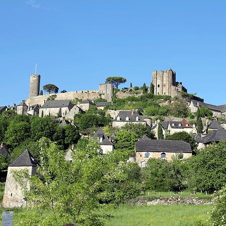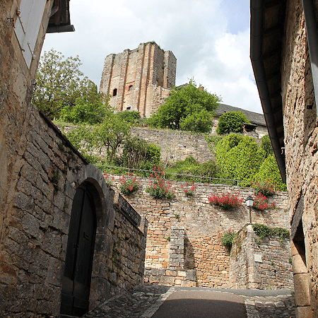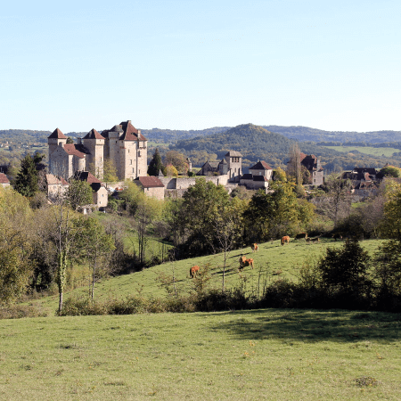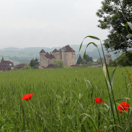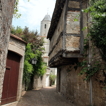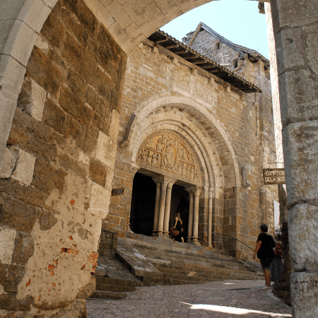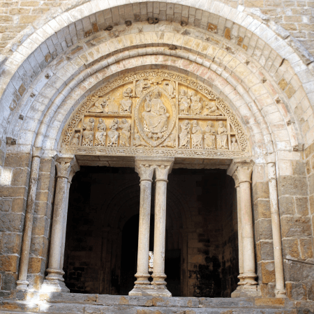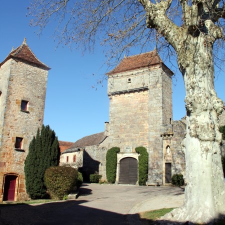
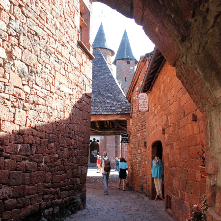
La Vicomté de Turenne
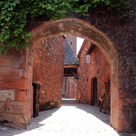
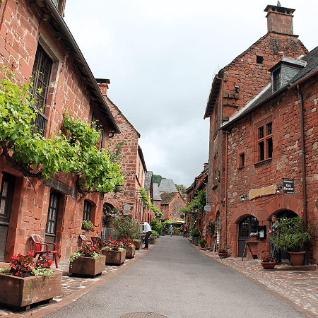
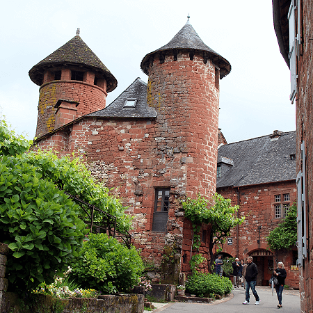
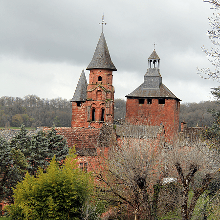
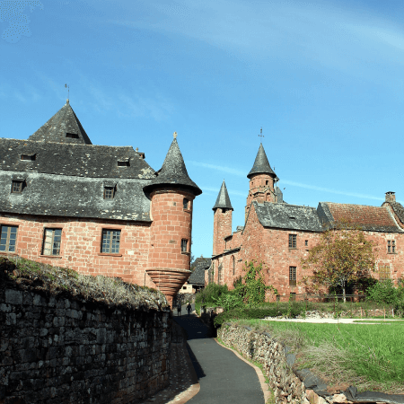
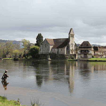
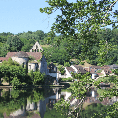
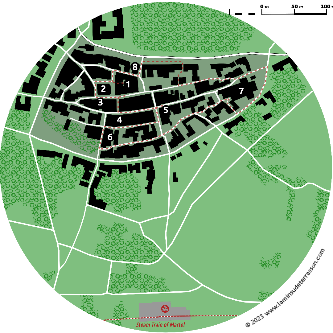
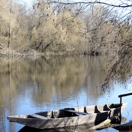
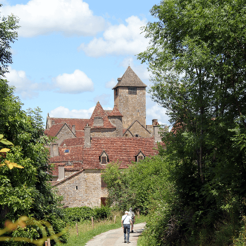
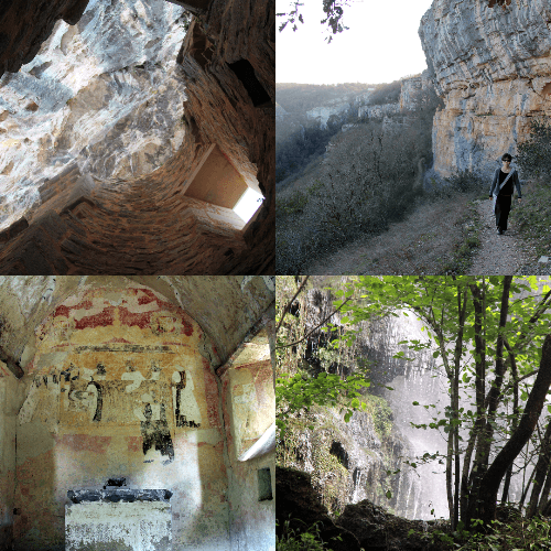
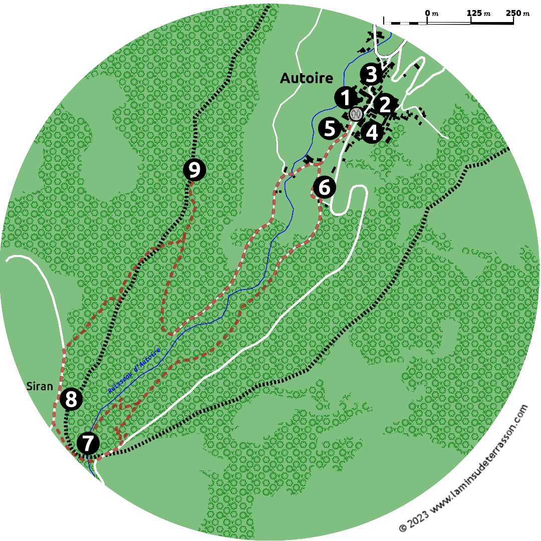
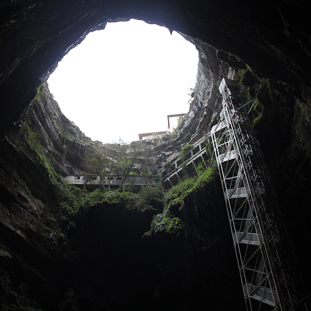
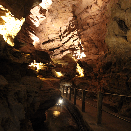
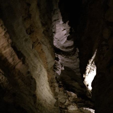
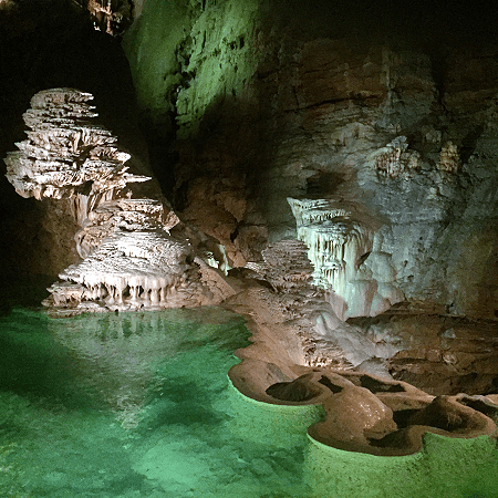
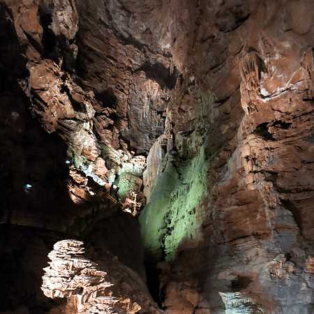
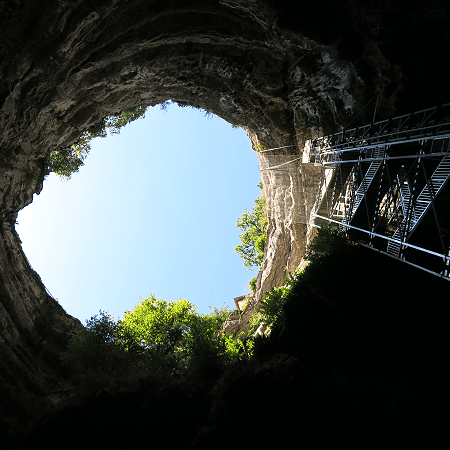
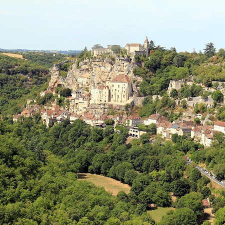
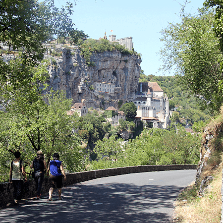
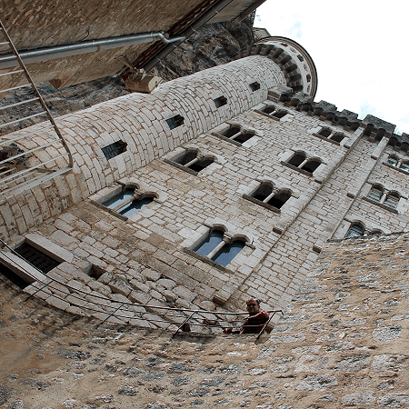
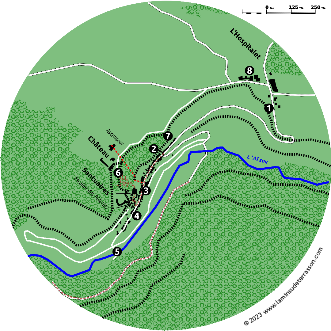
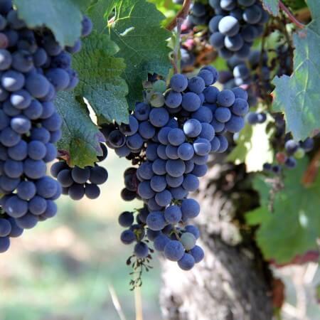
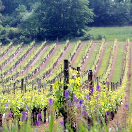
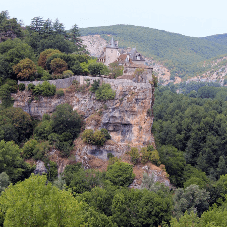
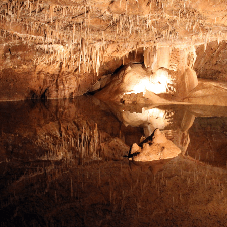
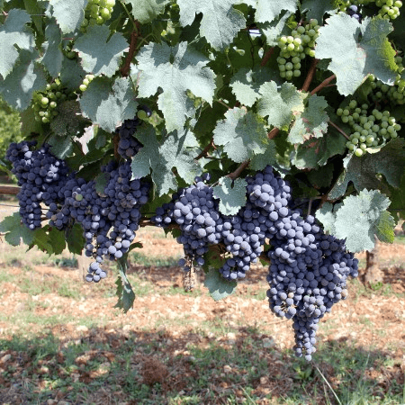
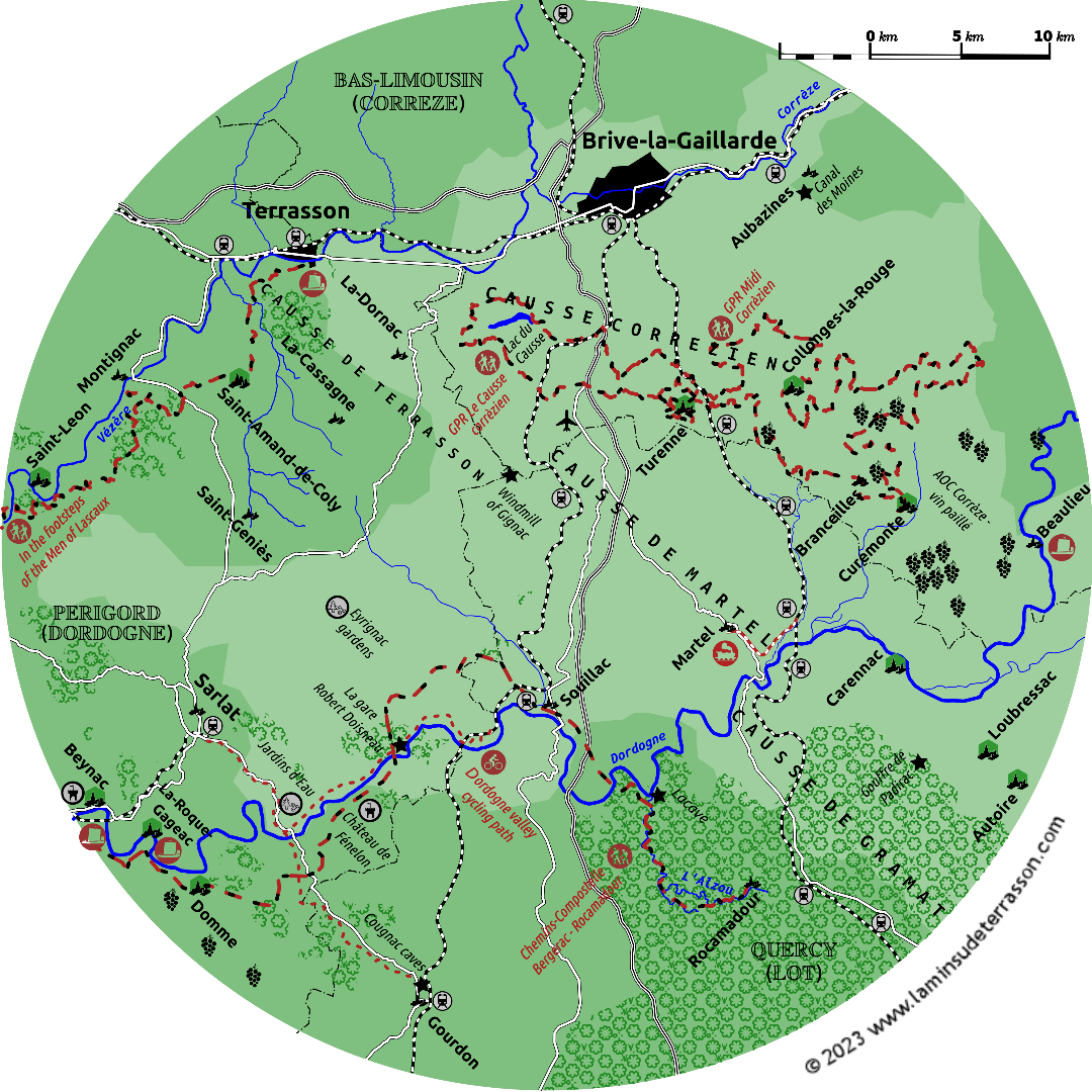
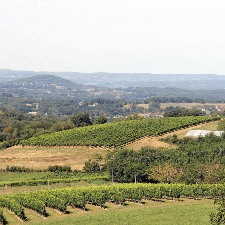
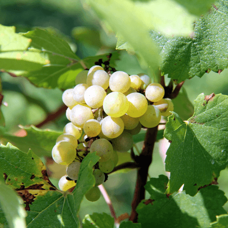
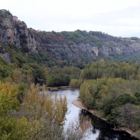
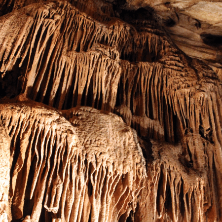
Visit Rocamadour by driving through the Corrèze and Lot départements; swim, hike or just hang-out at the Lac du Couze's beach, visit historic Turenne, Martel, the natural red stone village of Collonges-la-Rouge, picturesque Beaulieu-sur-Dordogne, Autoir, Carennac, the vin paillé vineyards or the underground river at Padirac.
Pick any three destinations for a fascinating day out.

Today Terrasson finds itself on the border of the Périgord and Limousin. Historically it was part of the independent Viconté de Turenne. The viconté emerged during the Carolingian empire, first references date back to the 8th century, the first known Lord of Turenne dates back to 823.
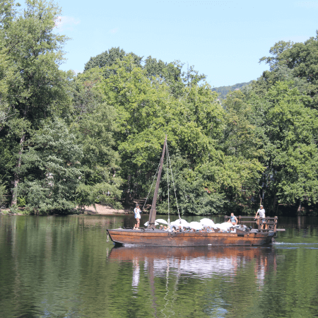
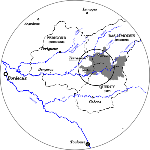
The vicompté occupied a strategic location on the borders of the Périgord, Limousin, Quercy and Auvergne. Controlling the Dordogne, Vézère and Corrèze rivers (bulk transport wood, metal, wine, grain and salt), the old roman roads Lyon-Bordeaux and Paris-Toulouse important for communication as well as the pilgrim routes to Rocamadour and Compostela.
This fiscal paradise avant la lettre did not pay taxes to France nor its kings, had its own army, its own currency and was ruled by a parliament representing the different states. The vicompté perfected the game of remaining neutral in wars, playing the ‘French’ (Capetian) and Angevin (‘English’) out against each other and welcomed protestants fleeing persecution in France.
At the beginning of the 17th century to cultivation of tobacco was banned in France to favor the Compagnie des Indes with a monopoly. As the vicompté was not part of France it became the source of high quality tobacco smuggled into France.
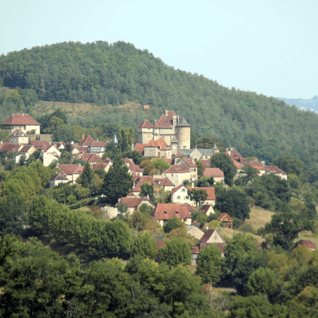
Overtime the viscount ran into debt and by 1738 the then king of France Louis XV acquired the vicompté as his private property. It was not till after the french revolution the local parliament was abolished (1802) and the area absorbed into 3 french departments. Bringing a 1000 year independent history to a close.
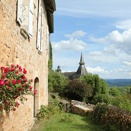
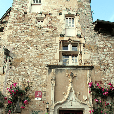
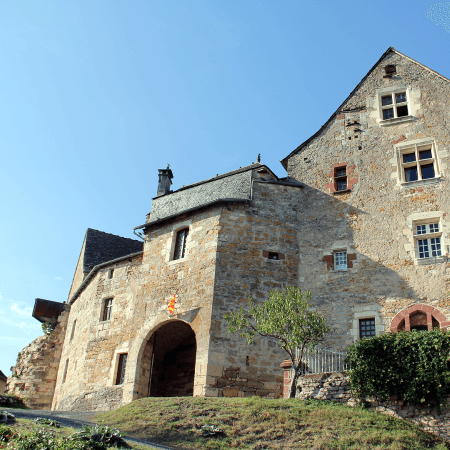
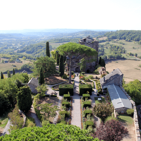
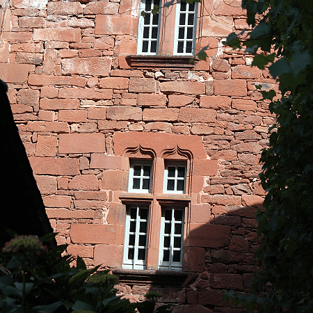
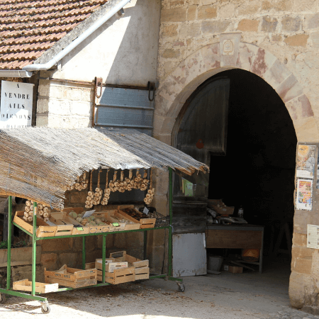
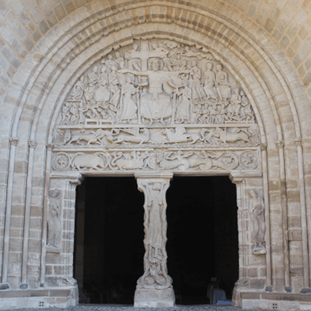
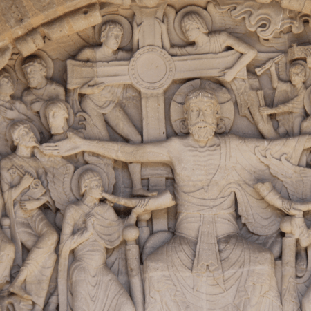
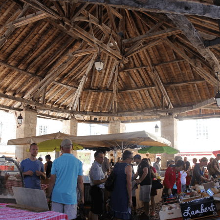
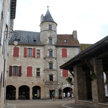
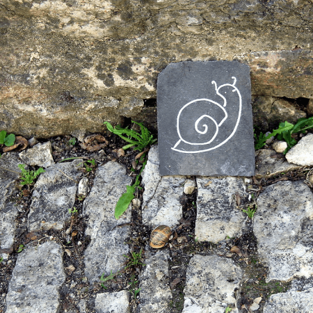
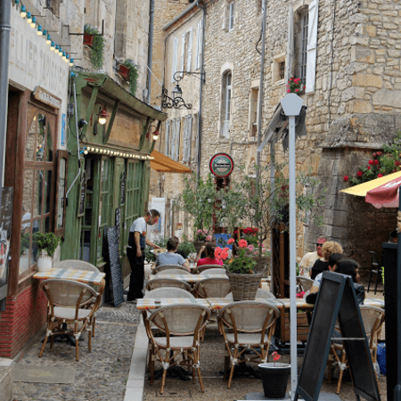
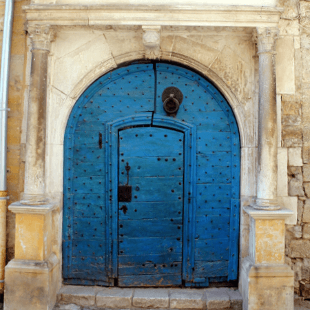
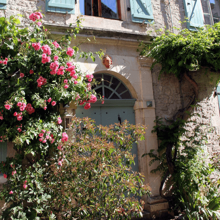
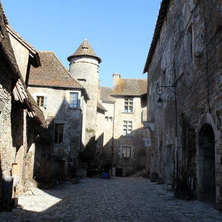
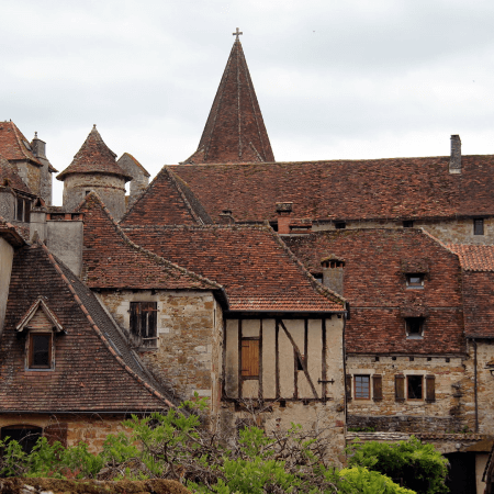
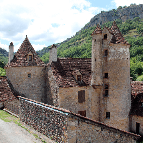
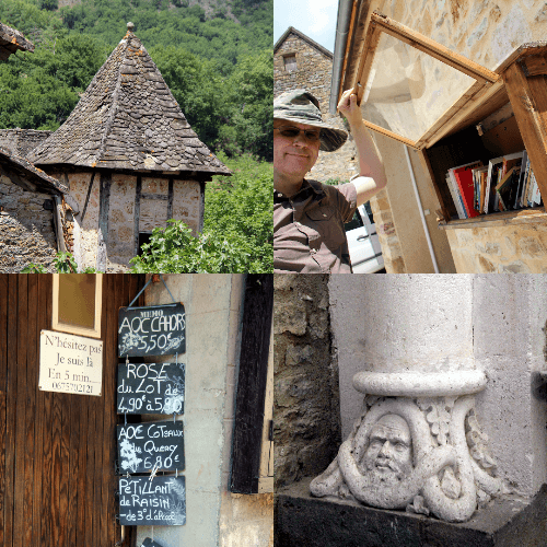
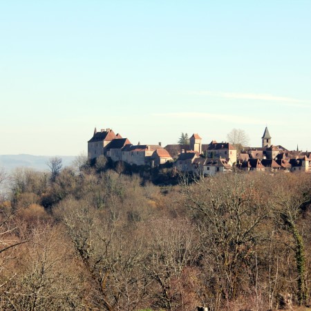
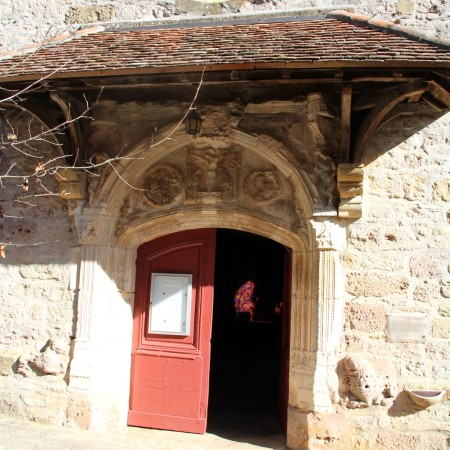
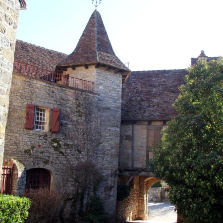
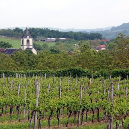
Today the area is dotted with some of the most beautiful villages of France. The abolishment of the vicompté brought the privileges (and economy) to an abrupt end, freezing much of the area in time. The villages conserve the memory of a prosperous economy based on tolls, tolerance and tax (evasion).
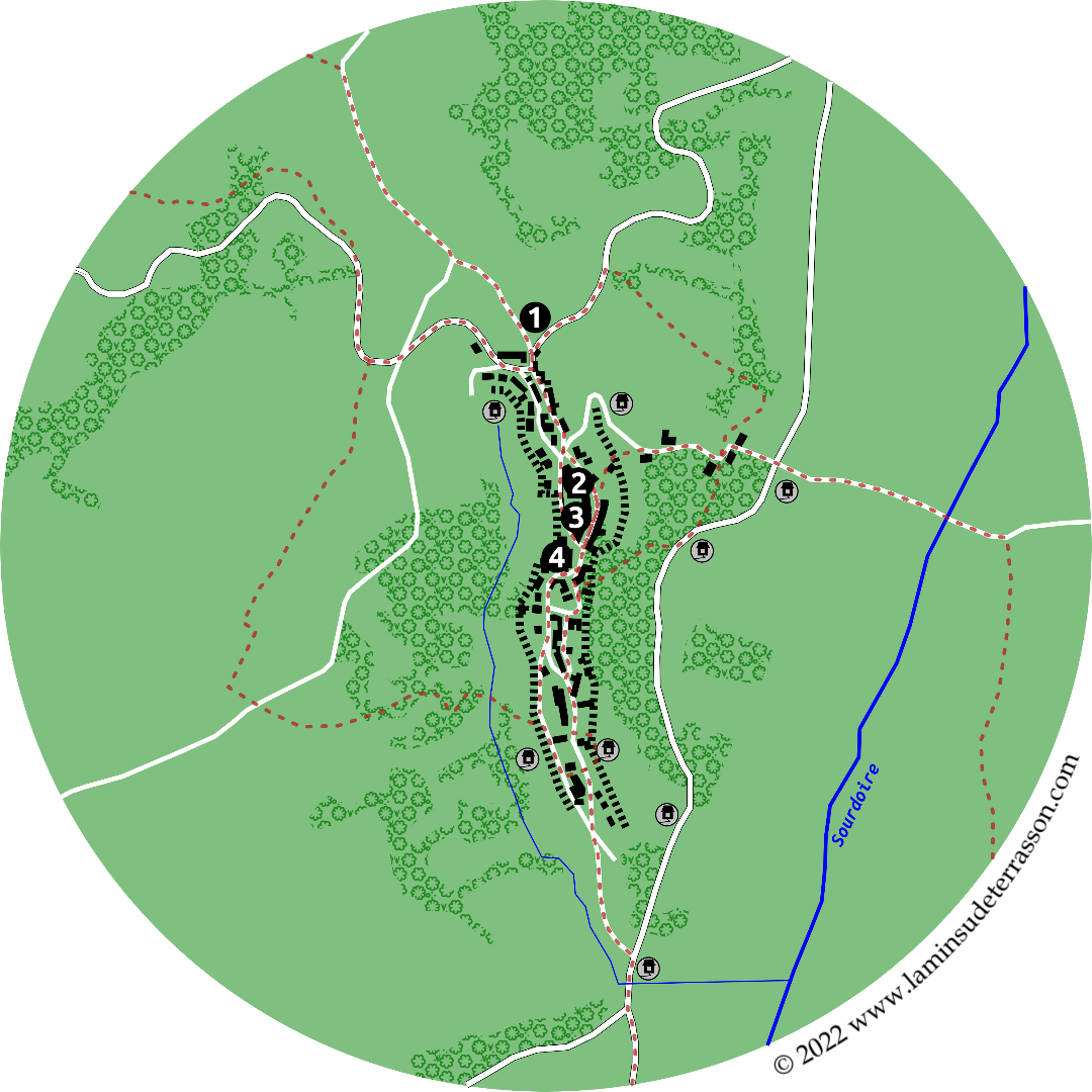
Find out how to visit:
- The urban centres: Brive, Limoges, Cahors and Souillac by train.
- The forests and villages of the Coly watershed: La-Dornac, Saint-Amand-de-Coly, Saint-Genies and the Causse de Terrasson.
- Aubazines as part of the Vezere Ardoise.
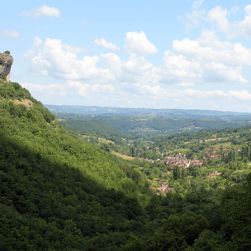
- Or the Dordorgne valley: Sarlat, Beynac, La-Roque-Gageac or Domme as part of a Périgord noir day trip.