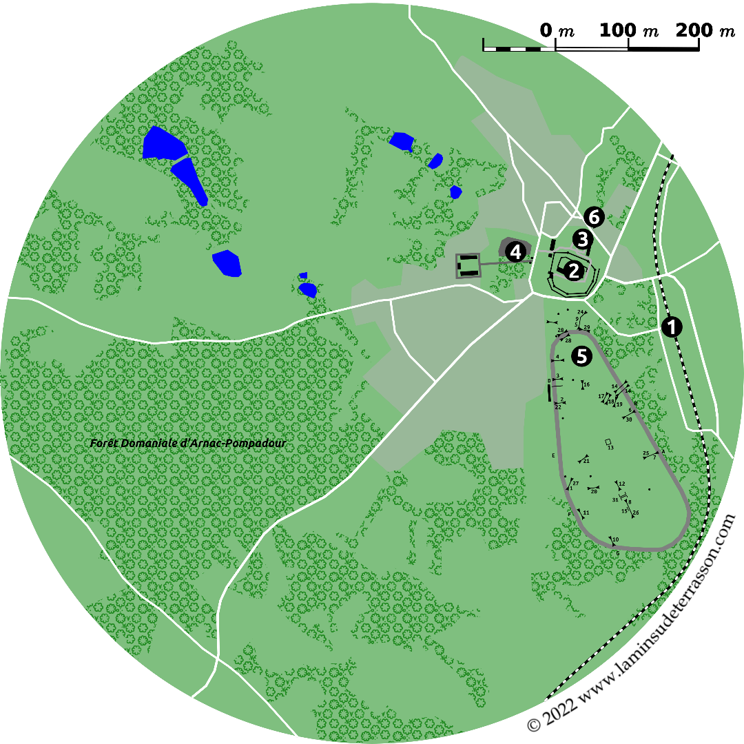
The Vézère Ardoise
Upstream from Terrasson the Vézère river erodes into the central plateau, revealing veins of slate (ardoise), and providing access to Uzerche at the heart of the forests of the Vézère headwaters. Under the name Vézère Ardoise, 47 communities grouped themselves into a Pays d'art et d'histoire.
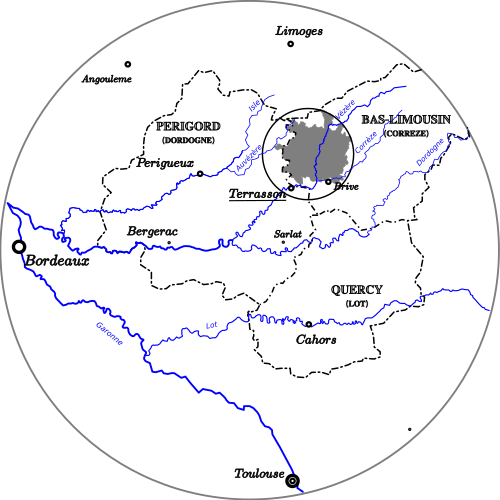
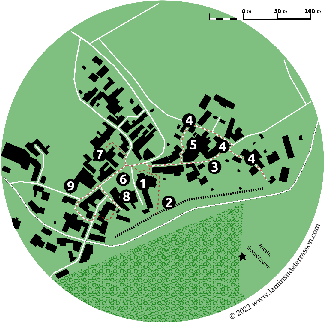
As the name suggests, the Vézère Ardoise is shaped by two main features: the Vézère river that cuts through the area south-east/north-west, and the ‘bande de schistes ardoisiers’ that cuts roughly south-west / North-east. The Vézère Ardoise area has a large number of villages and small towns, each with its own attractions and hicking trails.
Vézère river
The ‘Garonne and Dordogne river were the two breasts which suckled Bordeaux’.
The lower reaches of the Dordogne end in Bergerac, the Vézère middle section with its towpaths for gabares ended at Terrasson (at Souillac for the Dordogne proper). Up from there, it was one-way traffic descending by floating. Though the Normans did manage to reach and sack the monastery of Vigeois in the 9th century.
Uzerche at the heart of the forests of the Vézère headwaters was a ‘entrepots a la flotte’ (as was Argentat for the Dordogne proper). The flotte was a fleet descending wood by floating, each flotte was determined by the time, the place of departure and the interested merchants. Products included merrain (wood processed to make wine-barrels), carrassonnes (chestnut wood cut to serve as stakes to support vines in vineyards), feuillards (flexible branch split in two which is used to make barrel hoops), brasses (bundles of wood), charcoal as well as wine, chestnuts, juniper seeds, Limousin livestock products and produce of local mining.
The river pattern directed the movement of people, goods and animals. Salmon migrated up river, wood floated downwards depending on the season. Bordeaux was the beacon for the Corrèze bourgeoisie, it send its children there to study and embarked there for the Americas. In the years 1786-1788, studies consider the possibility to push Vézère navigation as far as Tulle (up the Corrèze branch) by the construction a total of 24 locks and some diversion canals. Work restarted under the name ‘Canal du Duc de Bordeaux’, 6 locks got constructed between 1826 and 1828 on the middle section of the Vézère.
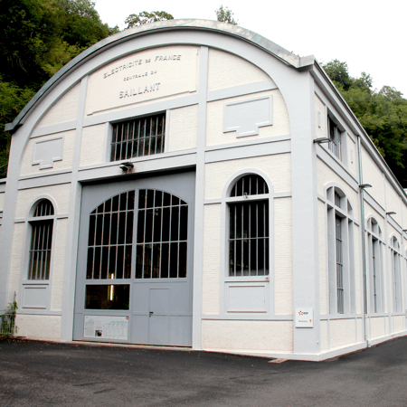
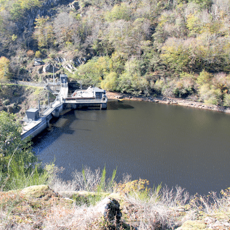
The arrival of the railway made the river redundant and redirected movement towards the center of l'étoile Legrand; Paris (1842). By the beginning of the 20th century some 25.000 Correziens lived in Paris (40.000 by the 1920’s). Dynamic uses lost in importance to stationary uses; the construction of hydroelectric dams (1899 and 1930) not only blocked movement, it ‘regulated’ the river flow. The saute de saumon in the Vézère gorges is a reminder of the ecological conduit the Vézère ones was, and now recognized as a Natura 2000 is regaining.
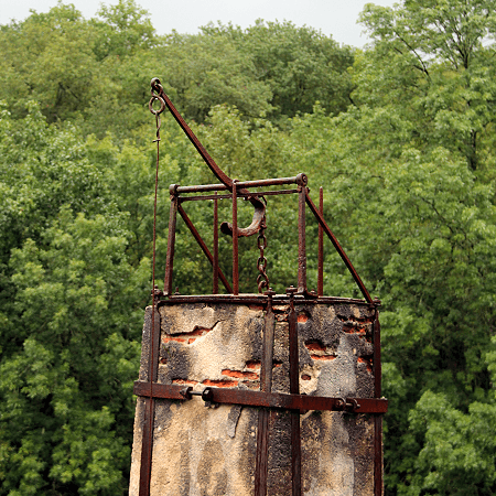
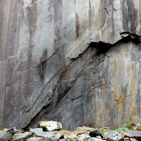
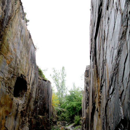
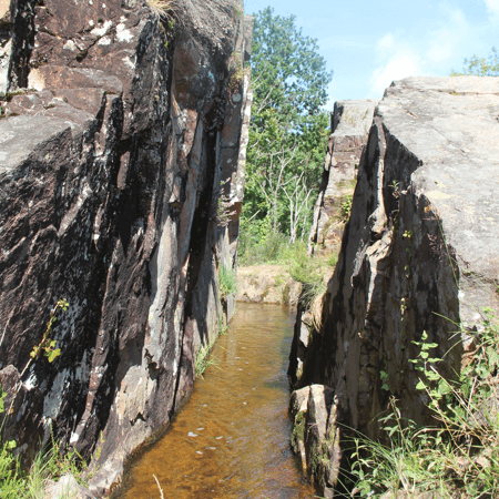
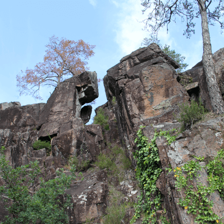
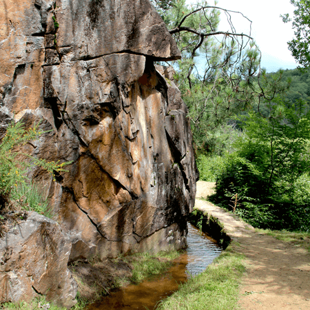
Ardoise
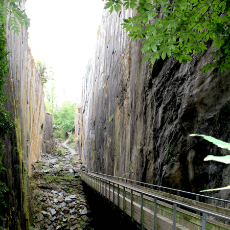
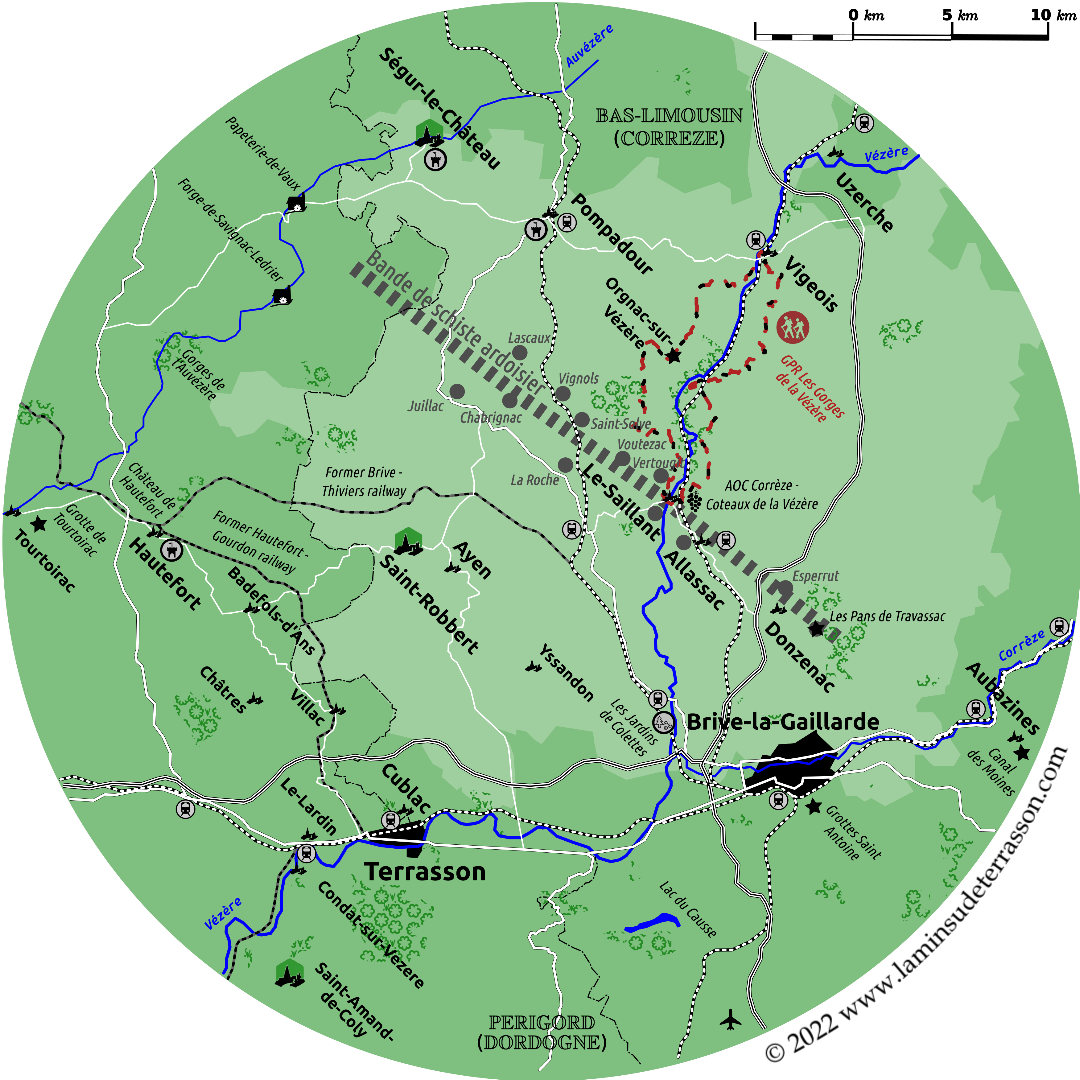
Slate mines/quarries in Correze were located on a line which runs from Thiviers (Dordorgne) to Traverssac.
North-west to south-east the towns and villages of Juillac, Lascaux, Chabrignac, Vignols, Saint-Solve, La Roche, Voutezac, Vertougit, le Saillant, Allassac, Esperrut and Travassac. Corrèze slate enjoys an unrivaled reputation for quality due to its geological structure. Unalterable, resistant to bending, perfectly waterproof and resistant to shock - and therefore to hail.
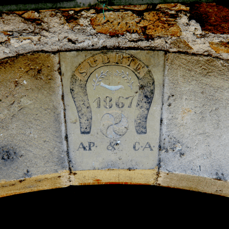
By the 19th century the arrival of the railway and electricity (for pumps evacuating ground water) gave a boast to production, while phylloxera decimated the local vineyards at the same time. Production peaked on the eve of the First World War. After the Second World War, competition from other roofing materials, easier to standardize in size and appearance, and the continued labour intensiveness due to the lack of mechanization led to the mines decline (the last operation stopped in 1977).
By the end of 20th century the use of asbestos based roofing alternatives go out of fashion. And renewed interest in French slate, particularly its best quality grades, leads to the reopening of production in Travassac (1989) and Allassac (2006).
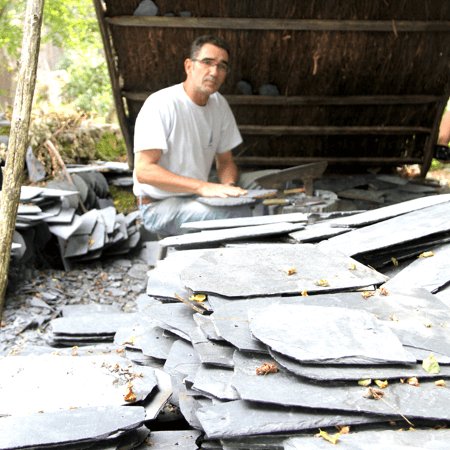
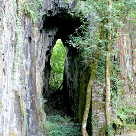
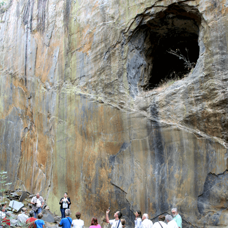
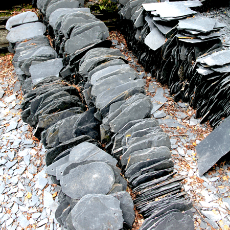
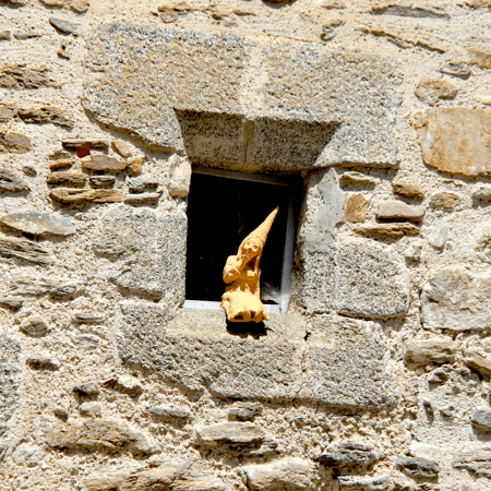
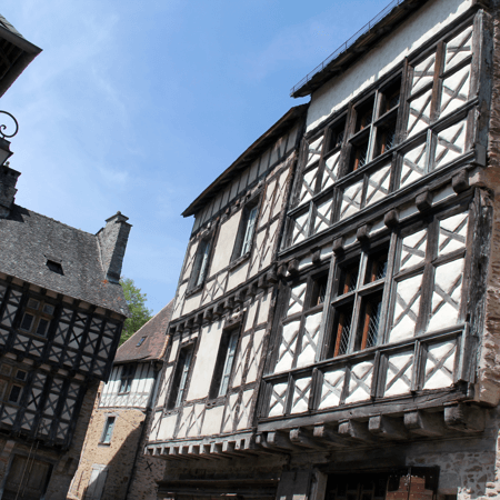
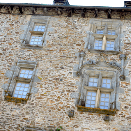
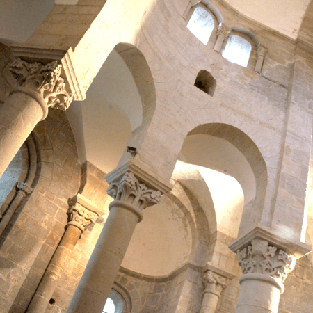
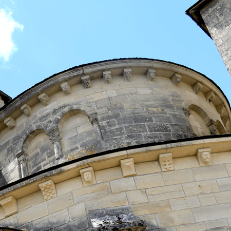
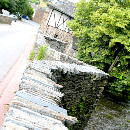
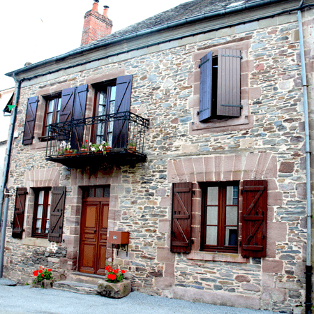
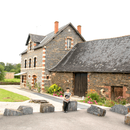
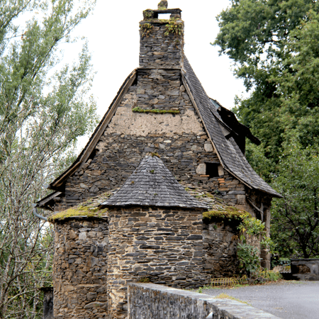
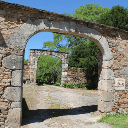
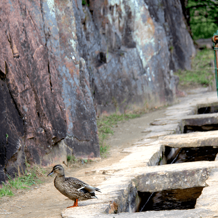
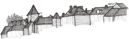
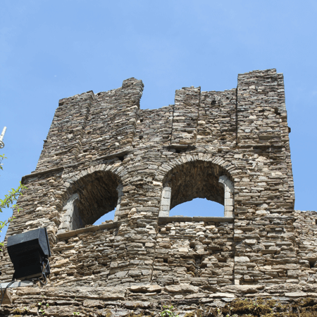
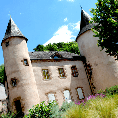
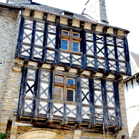
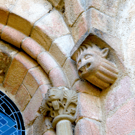
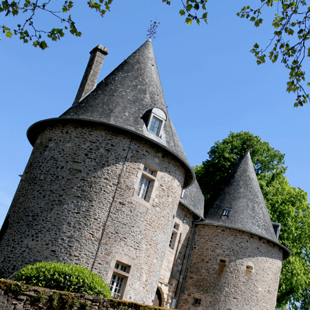
Most closed mines are at best deemed ‘of little interest’ (with the exception of the Pans de Traverssac) and more often a public safety issue. Heritage linked to slate is best visible in the local architecture. Apart from roofing material the quarries provide(d) “leftovers” with a wide range of uses: paving interior and exterior floors, building stones, mulching, lintels, fireplaces, table tops and garden decorations. The black angular stone characterizes the architecture, like the black stone Cesar tower of Allassac.
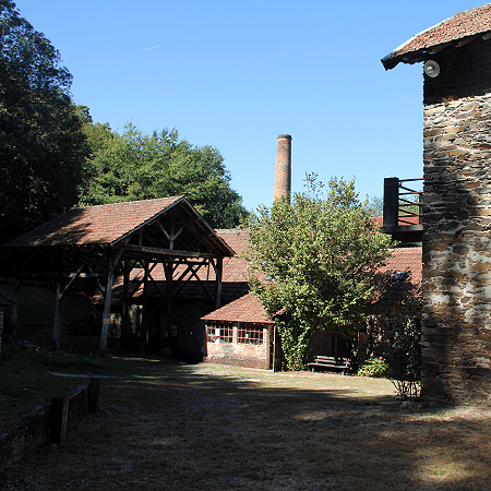
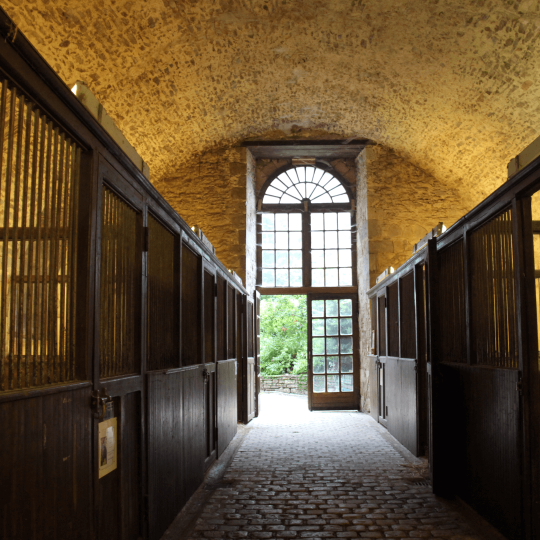
Towns, villages and (Pre)Industrial heritage
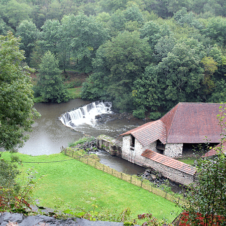
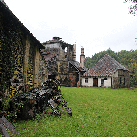
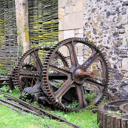
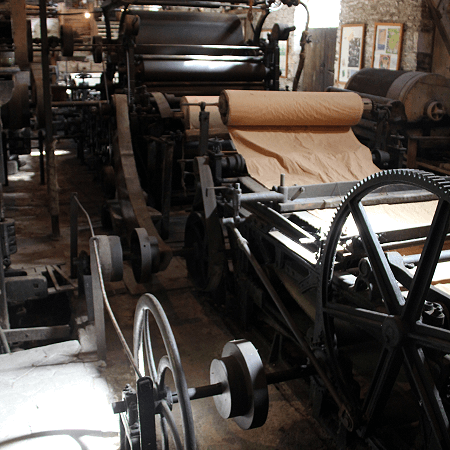
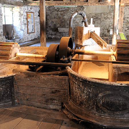
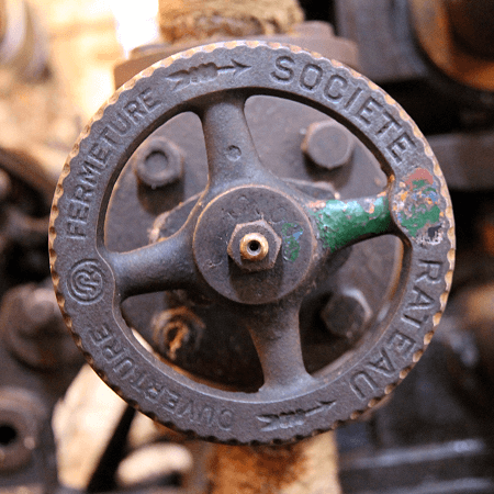
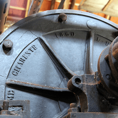
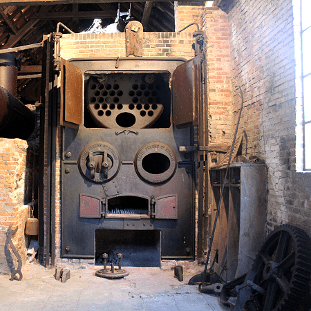
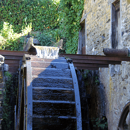
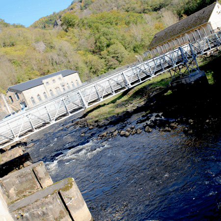
The steepening incline of the rivers ones powered small industries dotting the landscape with cottage industries, and provides hydroelectric power today.![]()
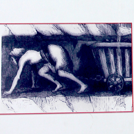
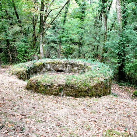
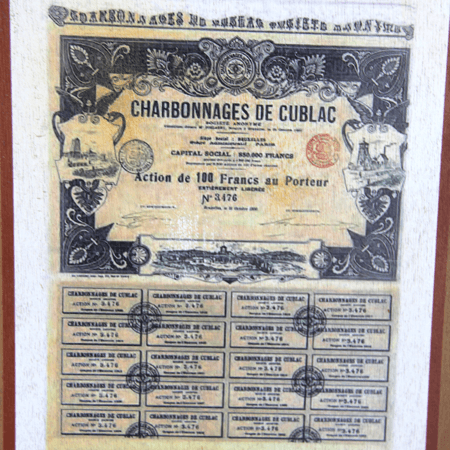
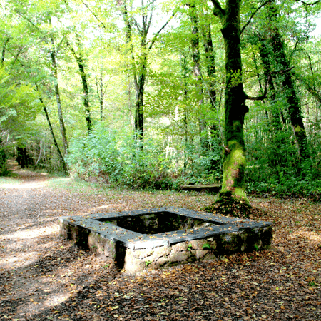
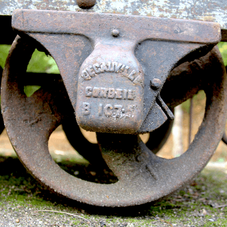
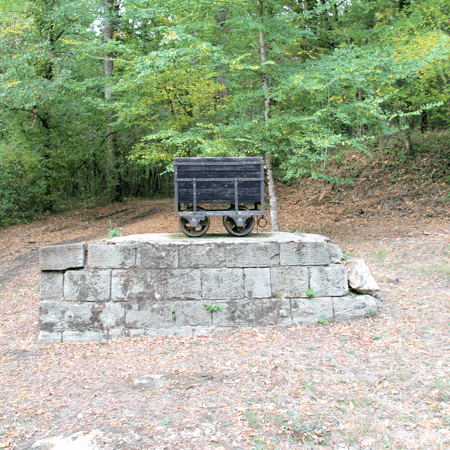
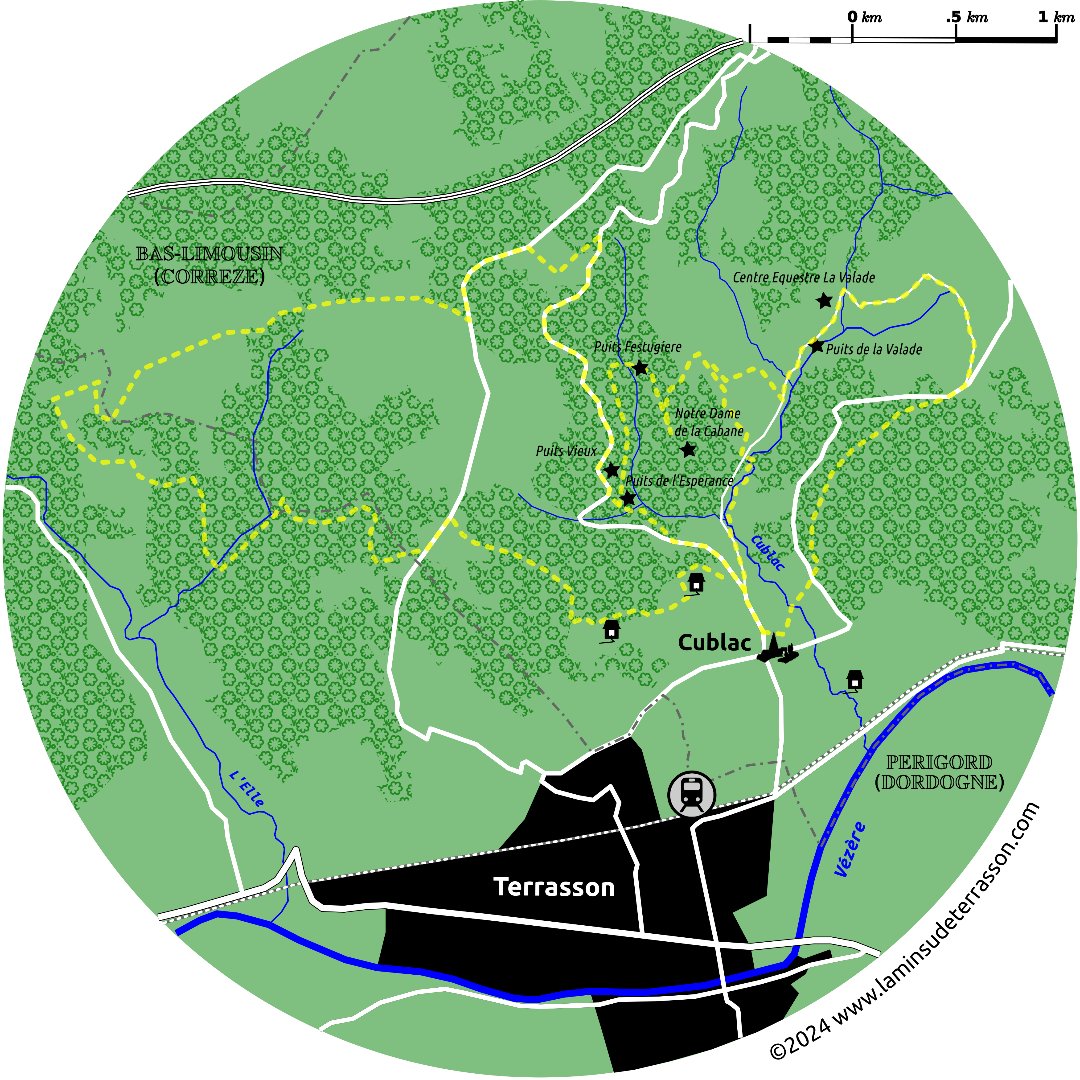
(Pre)Industrial heritage includes the Papeterie de Vaux and Forge de Salignac-Ledier, coalmines of Cublac, abandoned railways Hautefort- Terrasson (1899-1939) and Brive-Thiviers (1898-1940), and the since february 2018 ‘suspended till further notice’, Brive-Limoges served by buses between Objat and Pompadour.
The south-west corner provides the setting of Claude Michelet’s tetralogy ‘Les gens de Saint-Libéral’. Set in the fictional village named after the Saint-Libéral chapel in Brive, and allusion to the ‘Le dernier bastion de la liberté’ that the life on/off/with the land engenders to the author. These seminal works revitalized and brought the to the mainstream the littérature du terroir, the Brive book-fair (with its Prix littéraires du terroir) as well as the école de Brive (the contemporary current of the terroir novel). Though filming was done in Saint Robert the exact location of Saint Libéral keeps internet forums busy, buzzing and divided.
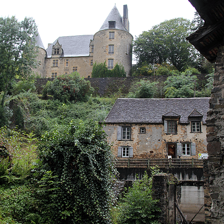
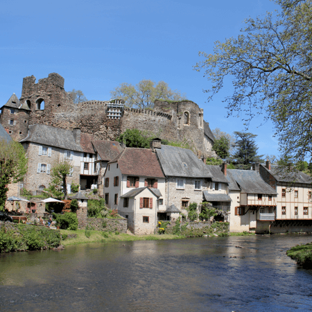
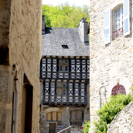
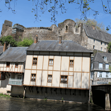
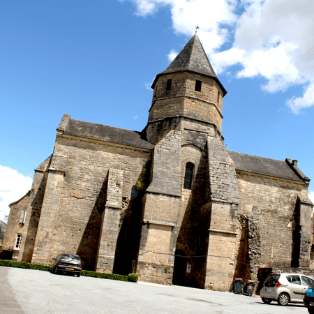
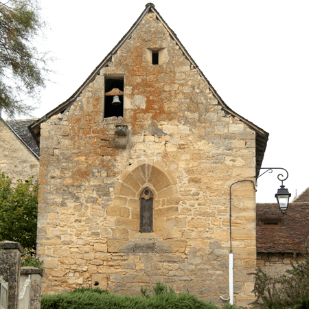
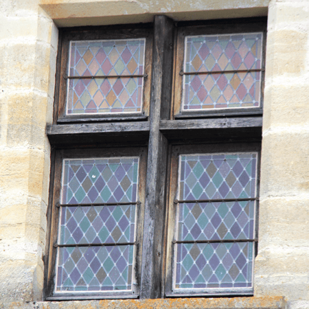
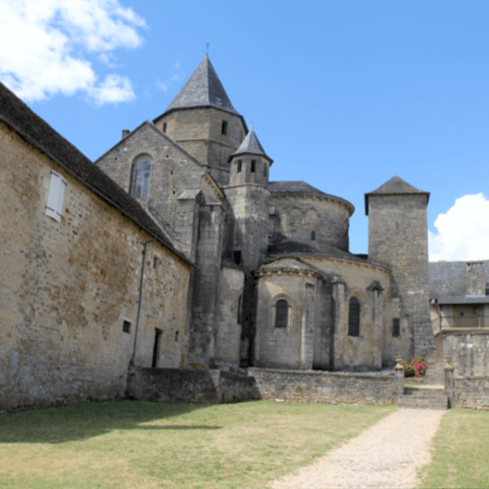
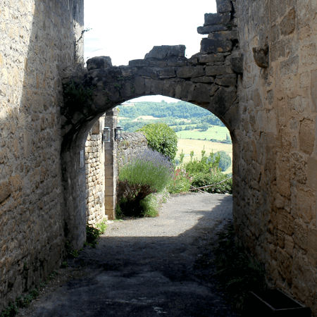
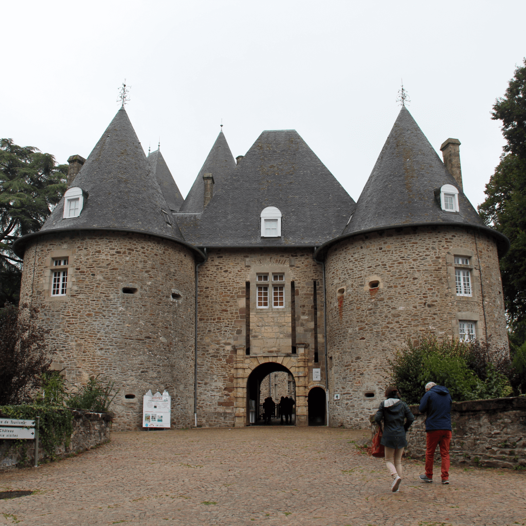
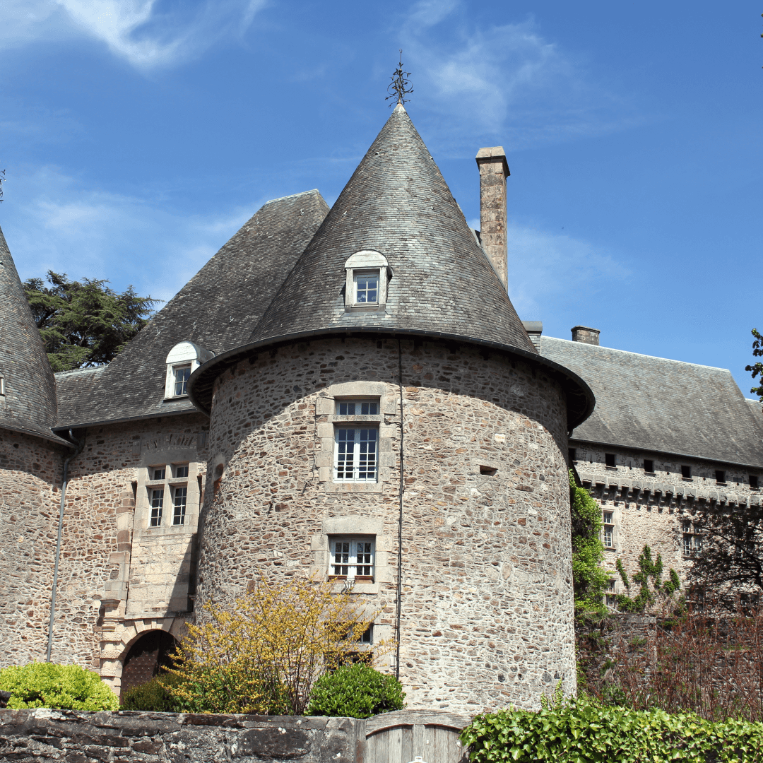
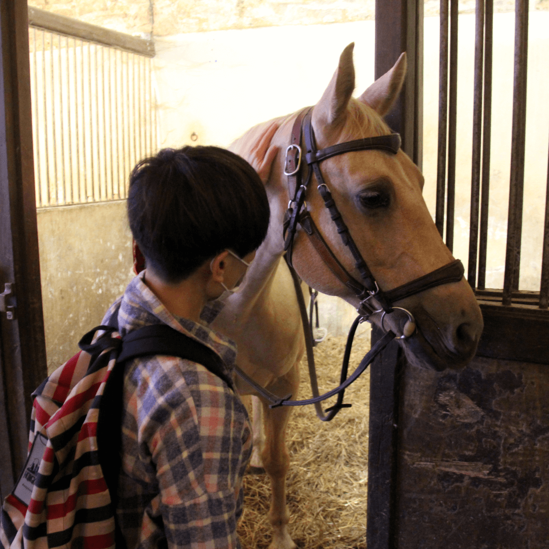
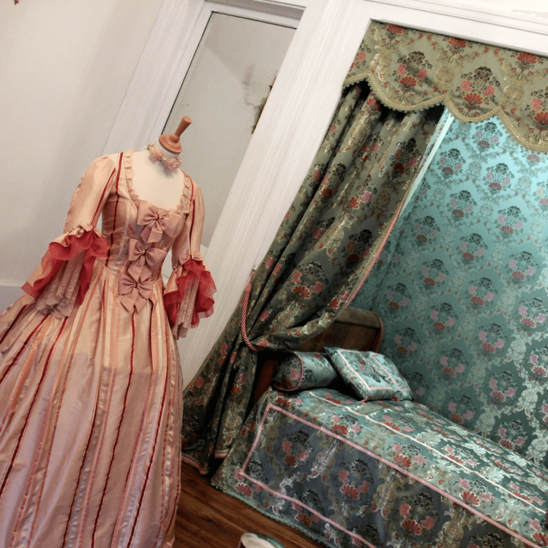
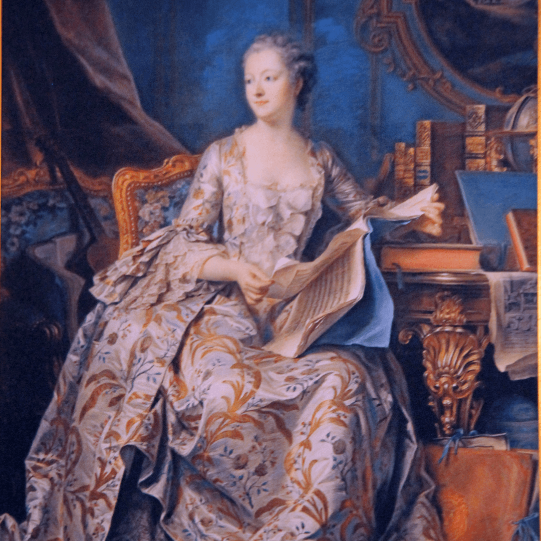
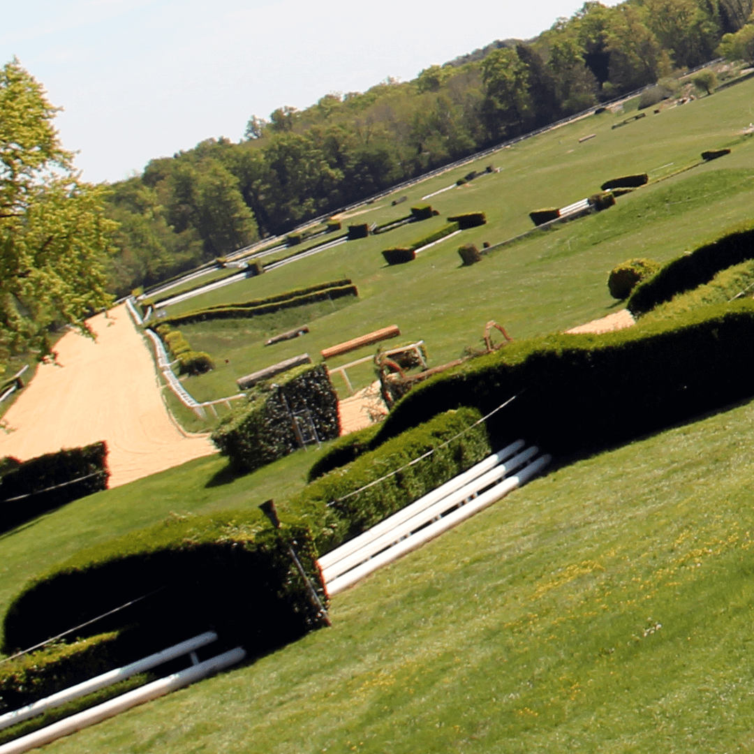
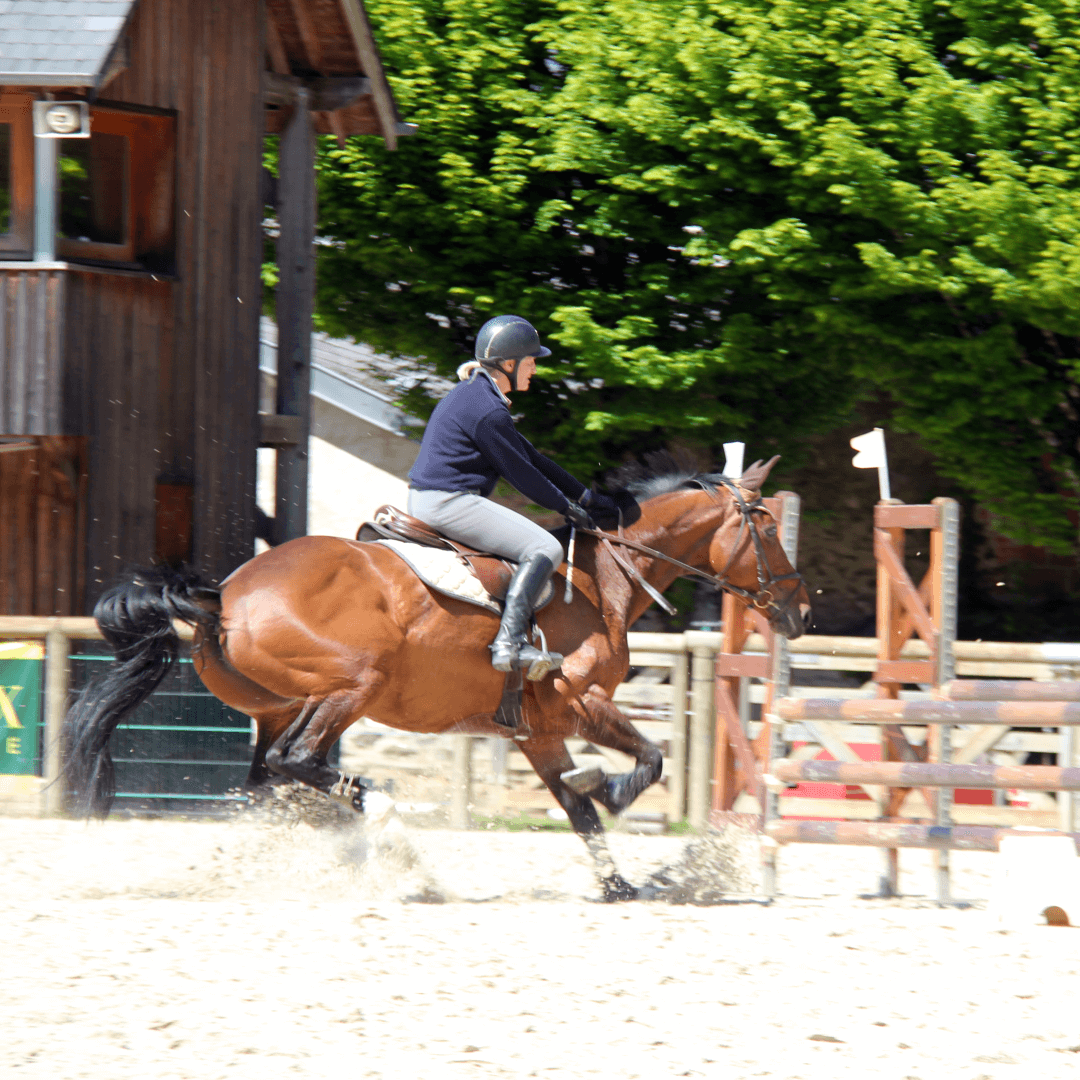
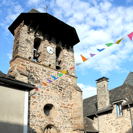
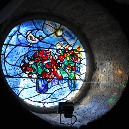
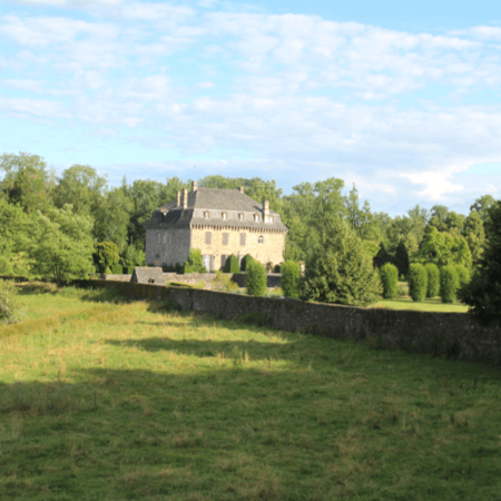
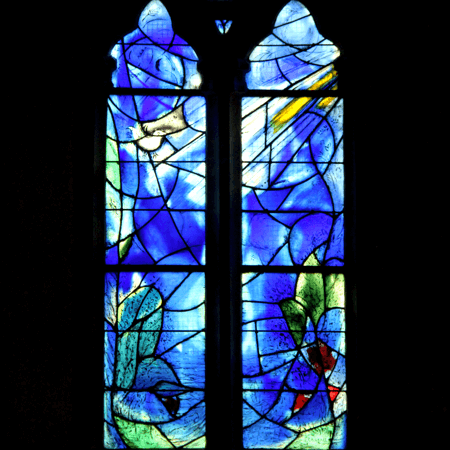
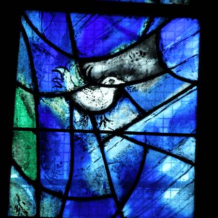
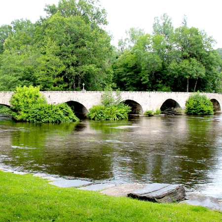
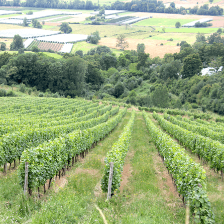
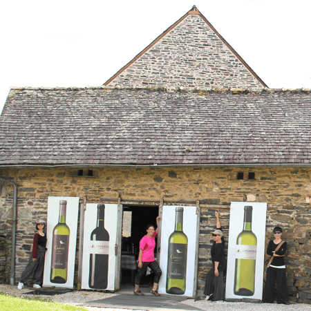
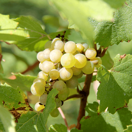
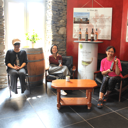
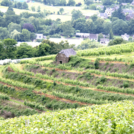
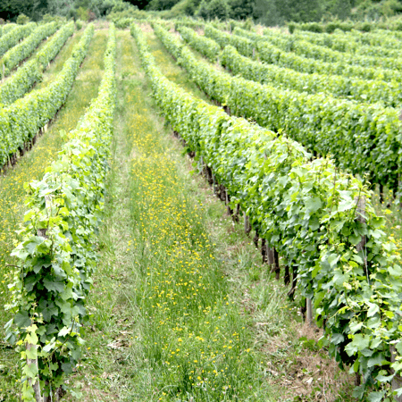
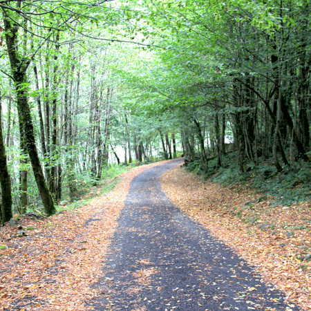
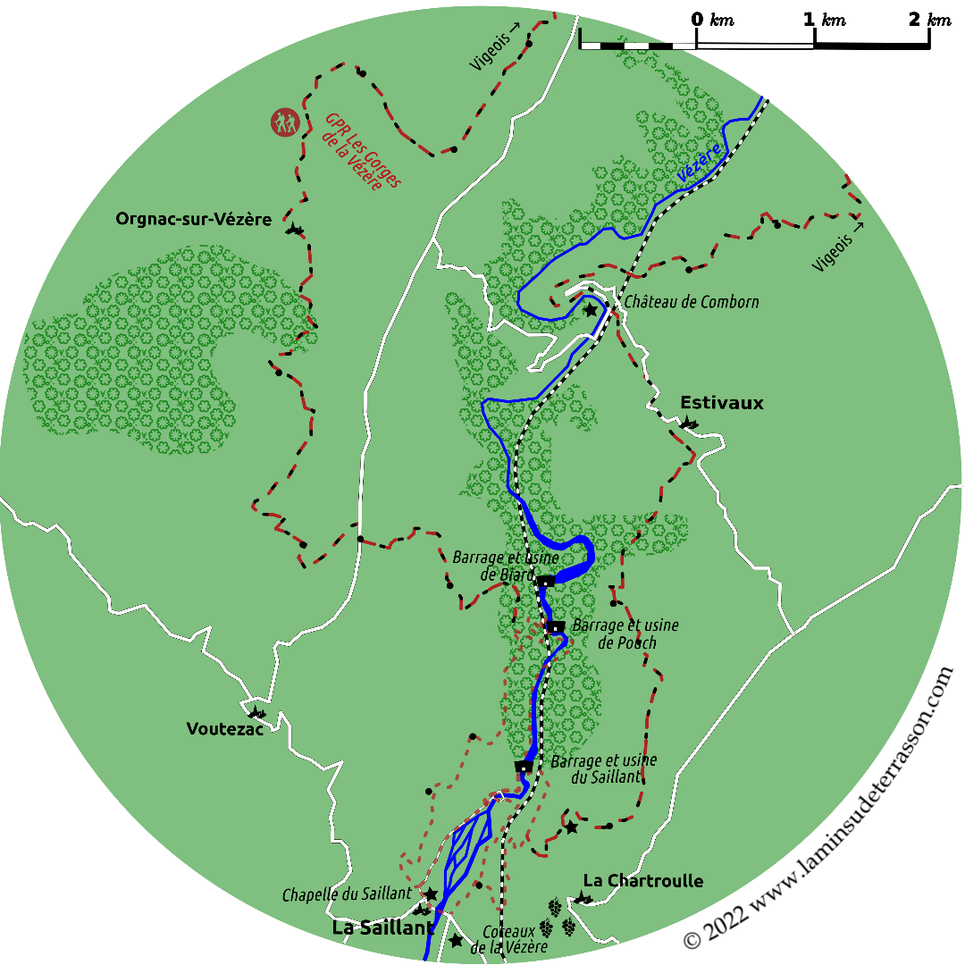
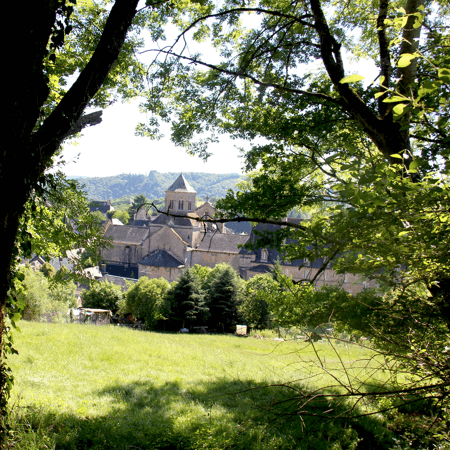
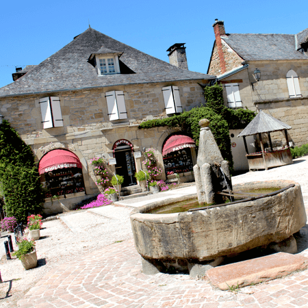
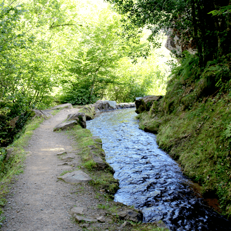
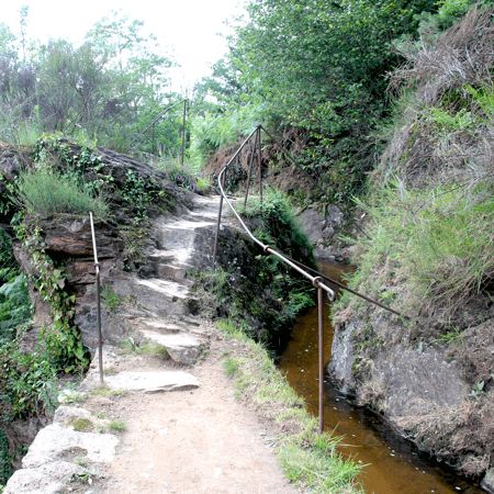
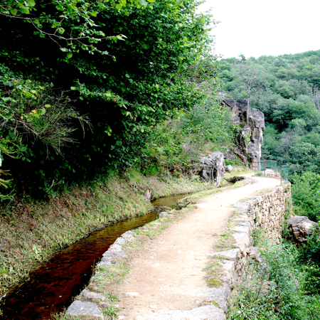
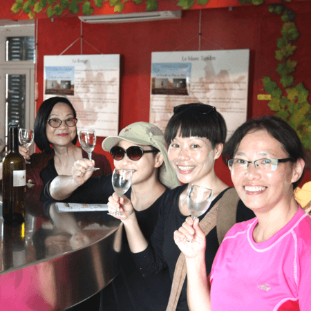
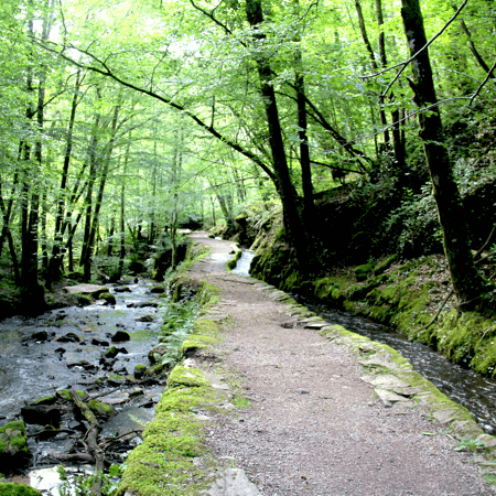
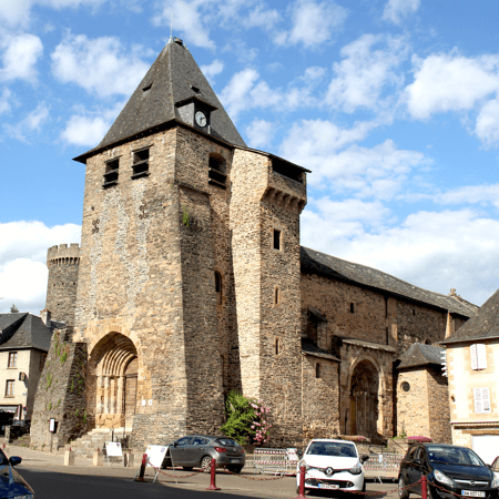
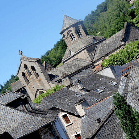
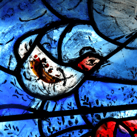
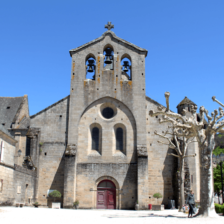
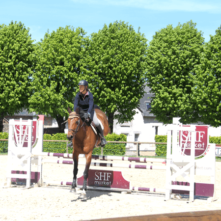
The area is home to brown Limousine cows that leisure in the grassland, chestnut-, walnut- and apple orchards, produces the AOP Pomme du Limousin. The slate produces the terroir (soil) for the minerally Coteaux de la Vézère wines. The area also host some of the Most beautiful villages of France; Saint Robbert and Ségur-le-Château. Pompadour famous for its horses and castle, of special interest to those equestrian enthusiasts. Orgnac-sur-Vézère with its modern stained glass windows, Yssandon and its tower. Vigeois with its pont des anglais and parish church of Saint-Pierre, is the starting/ending point of the long distance walk through the Vézère gorges. Donzenac has an interesting historical walk around the village, but its main claim to fame are the Pans de Travassac.
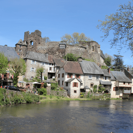
The beauty of the country, is so various, and in every respect so striking and interesting, that I shall attempt no particular description ... The water rolling over their rocky beds, and dazzling the eye with the luster of cascades ; in every ease the features are interesting and characteristic of the scenery. Some views of singular beauty riveted us to the spot; that of the town of Uzerche, covering a conical hill, rising in the hollow of an amphitheater of wood, and surrounded at its feet by a noble river, is unique.
The immense view from the descent to Donzenac is equally magnificent. To all this is added the finest road in the world, every where formed in the most perfect manner, and kept in the highest preservation, like the well ordered alley of a garden … The view of Brive, from the hill is so fine, that it gives the expectation of a beautiful little town, and the gaiety of the environs encourages the idea; but on entering, such a contrast is found as disgusts completely. Close, ill built, crooked, dirty, stinking streets, exclude the sun, and almost the air from every habitation…
Arthur Young’s travels in France, 1787.
Down stream from Terrasson the 'Valley of mankind' is classified as a world heritage site by UNESCO. Find more information on the cave-lined Vézère valley and the wealth of prehistoric sites.